
Seaford–Oyster Bay Expressway (NY 135)
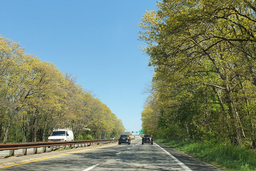
The Seaford–Oyster Bay Expressway (NY 135) is a limited-access north–south state highway running through central Nassau County, Long Island. At about 10.7 miles, it connects the South Shore community of Seaford with Bethpage, Plainview, and the Jericho Turnpike corridor near Woodbury, Jericho, and Syosset.
Built in phases in the late 1950s and early 1960s, NY 135 was originally intended to continue farther north as part of the proposed Oyster Bay–Rye Bridge across Long Island Sound, a plan that was later canceled. Despite its name, the expressway today ends at Jericho Turnpike (NY 25) rather than reaching the village of Oyster Bay. It remains an important commuter and regional travel route linking Sunrise Highway (NY 27), Southern State Parkway, Bethpage State Park, the Long Island Expressway, Northern State Parkway, and Jericho Turnpike.
Route and Features
- Southern Terminus: Merrick Road (CR 27) in Seaford
- Northern Terminus: Jericho Turnpike (NY 25) in Woodbury, near Syosset and Jericho
- Length: Approximately 10.7 miles
- County: Nassau
- Character: Divided, grade-separated expressway; most of the route carries three lanes in each direction
- Restrictions: Not a parkway; trucks and commercial vehicles are generally permitted, subject to posted rules and restrictions
- Maintenance: New York State Department of Transportation (NYSDOT)
Seaford-Oyster Bay Expy
Selected Major Interchanges & Access Points (south → north)
| Exit | Junction / Roadway | Destination / Notes |
|---|---|---|
| 1 | Merrick Road (CR 27) | Seaford village center and South Shore local access |
| 2 | Sunrise Highway (NY 27) | East–west connection serving nearby South Shore communities |
| 3 | Southern State Parkway | Major regional parkway link through Nassau, Queens, and western Suffolk |
| 5 | Hempstead Turnpike (NY 24) | Access toward Levittown, East Meadow, and Bethpage |
| 7 | Bethpage State Parkway | Convenient route toward Bethpage State Park and recreation areas |
| 9 | Old Country Road (CR 58) | Access toward Hicksville and Plainview commercial corridors |
| 10 | Northern State Parkway | East–west parkway connection through central Long Island |
| 11 | Long Island Expressway (I-495) | Key regional freeway link for travel west toward Queens or east into Suffolk County |
| 14 | Jericho Turnpike (NY 25) | Woodbury/Jericho/Syosset area; northern terminus |
Notable Facts
- Constructed as part of the postwar expansion of Long Island’s highway network, the route was designed to improve north–south travel across Nassau County.
- Its name reflects the once-proposed Oyster Bay–Rye Bridge, which would have connected Long Island with Westchester County. That project was never built, leaving the expressway to end at Jericho Turnpike.
- NY 135 provides one of the most direct limited-access routes toward Bethpage State Park, known for its golf courses, trails, and year-round recreation.
- Because it is a state expressway rather than a parkway, it serves as a truck-permitted alternative to nearby routes such as the Wantagh and Meadowbrook State Parkways, which restrict commercial traffic.
- Traffic can be heaviest during weekday rush hours and around the Northern State Parkway and Long Island Expressway junctions. Ramp patterns, lane use, and service details may change, so check current traffic conditions before heading out.
Are you ready for fall on Long Island? Check out these local seasonal guides:
🍎 Apple Picking | 🍂 Fall Festivals & Farm Activities | 👻 Haunted Houses | 🎃 Pumpkin Picking
