
Northern State Parkway
The Northern State Parkway is one of Long Island’s best-known and most heavily traveled historic parkways, running about 28 miles from the eastern end of the Grand Central Parkway near the Queens–Nassau line across Nassau County and into western Suffolk County. Built in stages beginning in the early 1930s, it was designed as part of the region’s original landscaped parkway system and remains a major commuter route today.
Although it connects directly with Queens by way of the Grand Central Parkway, the Northern State Parkway itself primarily travels through Nassau County and western Suffolk County before ending at the Commack junction with the Sagtikos State Parkway. Along with the Grand Central and Southern State Parkways, it forms a key east–west route across much of Long Island.
Route and Features
- Western Terminus: Eastern end of the Grand Central Parkway near the Queens–Nassau line
- Eastern Terminus: Sagtikos State Parkway in Commack, Suffolk County
- Length: About 28 miles
- Areas Served: Nassau County and western Suffolk County, with a direct connection west to Queens via the Grand Central Parkway
- Restrictions: Parkway rules apply. Trucks, most commercial vehicles, and other prohibited traffic are not permitted; check posted signs and official guidance before traveling.
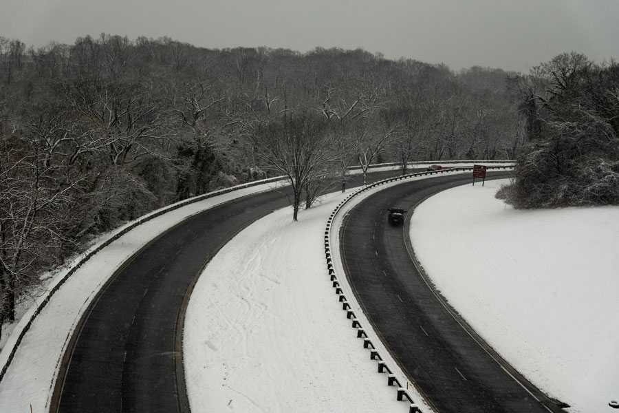
The Northern State Parkway is known for its relatively narrow lanes, short merge areas, sweeping curves, and stone-faced overpasses that reflect its original early-20th-century design. Those historic features give the route much of its character, but they can also make driving more demanding during rush hours, construction periods, or poor weather.
For current traffic conditions, closures, and work-zone alerts, check 511NY before a trip. Travel times, lane shifts, and ramp access can change with incidents and seasonal roadwork.
Selected Exits and Major Junctions
Below is a west-to-east reference to commonly used exits and key connections along the Northern State Parkway. Exit signage, local access patterns, and ramp movements can change, so follow posted signs when traveling.
| Exit | Destination / Roadway | Notes |
|---|---|---|
| 16 | Lakeville Road | New Hyde Park / Lake Success area |
| 17 | Shelter Rock Road | Herricks / Manhasset Hills area |
| 18 | Willis Avenue | Mineola / Albertson area |
| 19 | Roslyn Road | Roslyn Heights area |
| 20 | Meadowbrook State Parkway | Connection toward Eisenhower Park and south-shore parkways |
| 21 | Glen Cove Road | Carle Place / Old Westbury |
| 22 | Post Avenue | Westbury |
| 27 | Brush Hollow Road | Westbury / Jericho area |
| 28 | Jericho Turnpike (NY-25) | Jericho |
| 29 | Seaford–Oyster Bay Expressway (NY-135) | Syosset and south-shore connections |
| 31 | South Oyster Bay Road | Syosset |
| 33 | Wantagh Avenue | Hicksville / Plainview area |
| 36 | Sunnyside Boulevard | Plainview |
| 37A | Long Island Expressway (I-495) | Major regional connection |
| 37B | Manetto Hill Road | Plainview / Woodbury area |
| 38 | Round Swamp Road | Plainview / Old Bethpage area |
| 39 | NY-110 | Melville area |
| 40 | Wolf Hill Road | Dix Hills / Melville |
| 41 | Deer Park Avenue (NY-231) | Dix Hills |
| 42 | Park Avenue | Huntington area |
| 43 | Sagtikos State Parkway | Commack; eastern terminus |
Vicinity of the East–West Travel Corridor
Notable Facts
- The parkway opened in stages beginning in the early 1930s and was later extended eastward to the Commack area.
- It was developed as part of the Long Island parkway system associated with Robert Moses and the era’s landscaped, limited-access road design.
- Connections with routes such as the Meadowbrook and Sagtikos State Parkways help link drivers to Long Island’s broader network of parks, parkways, and beaches.
- Stone-faced bridges, planted medians, and older interchange geometry still give the Northern State Parkway much of its historic character.
