
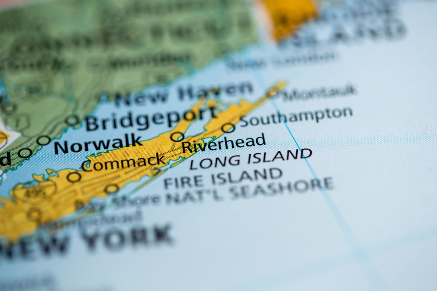
Long Island is a geographic island in southeastern New York State, extending approximately 118 miles from New York Harbor toward Montauk. It contains four counties: Kings County, which is Brooklyn; Queens County; Nassau County; and Suffolk County. In everyday regional conversation, however, “Long Island” often refers specifically to Nassau and Suffolk, outside the boundaries of New York City.
Where Is Long Island?
Long Island stretches eastward between Long Island Sound to the north and the Atlantic Ocean to the south. At its western end, the East River separates it from Manhattan and parts of the mainland. New York Harbor borders the southwestern area, while Block Island Sound lies near its eastern end.
The island is approximately 118 miles long and reaches about 23 miles at its widest point. Its long, narrow shape gives it extensive coastal frontage, with ocean beaches, sheltered bays, harbors, tidal wetlands, and waterfront communities.
Why Do People Use the Name in Two Different Ways?
The geographic island and the region commonly called “Long Island” are not quite the same thing. Brooklyn and Queens occupy the western part of the island, but both are boroughs of New York City. Residents generally identify them by their borough or city rather than describing them as part of suburban Long Island.
By contrast, Nassau and Suffolk are commonly grouped together as the Long Island region in travel, business, housing, and everyday conversation. Understanding this distinction helps explain why a population figure, news report, or tourism guide may cover either two counties or all four. Our four-county map and guide shows how the areas fit together.
What Does the Landscape Look Like?
Long Island contains dense city neighborhoods, suburban communities, historic villages, farmland, and protected natural areas. Glaciers largely shaped its present-day terrain by depositing ridges of sediment and spreading sand and gravel through meltwater. Older geological layers lie beneath those deposits, while waves, storms, and rising seas have continued to reshape the coastline.
The North Shore is associated with rolling terrain, bluffs, harbors, and historic Gold Coast estates. Much of the South Shore has flatter terrain, bays, and sandy barrier beaches. Farther east, the island divides into the North Fork and South Fork, with the Peconic Bay system between them and Shelter Island among the surrounding waters.
How Many People Live on Long Island?
The four counties together recorded 8,063,232 residents in the 2020 U.S. Census, making approximately 8 million a useful rounded description of the geographic island’s population. Nassau County and Suffolk County together recorded 2,921,694 residents, or about 3 million. Later annual estimates may differ, so population comparisons should identify both the geographic area and the reference year.
What Is Long Island Known For?
Long Island is widely associated with its beaches, Hamptons communities, North Fork wine country, and historic estates. Recognizable destinations include Jones Beach State Park, Fire Island National Seashore, and Montauk Point Lighthouse.
Its identity also includes aviation and aerospace history, suburban business centers, and regional food traditions involving bagels, pizza, and seafood. Across the East End, vineyards and farm stands reflect the continuing importance of agriculture alongside tourism and residential life.
How Do People Get There?
Travel to Long Island includes road connections through New York City, commuter rail, airports, and selected ferry routes. The Long Island Rail Road connects communities across Nassau and Suffolk with New York City, while ferries provide additional connections across the Sound and to certain island destinations.
Distances and travel times vary considerably. A trip to western Nassau County is different from a journey to Greenport or Montauk, and traffic conditions can add substantial time during commuting periods and summer weekends. Choose a specific community or attraction when planning rather than treating the entire island as one destination.
Key Facts & Details
| Category | Information |
|---|---|
| Geographic Identity | An island in southeastern New York State. |
| Length | Approximately 118 miles (190 kilometers). |
| Maximum Width | Approximately 23 miles (37 kilometers). |
| Four Counties | Kings County (Brooklyn), Queens County, Nassau County, and Suffolk County. |
| Common Regional Meaning | Nassau and Suffolk counties, outside New York City. |
| Geographic Island Population | 8,063,232 residents across all four counties in the 2020 U.S. Census. |
| Nassau and Suffolk Population | 2,921,694 residents across Nassau and Suffolk in the 2020 U.S. Census. |
| Major Surrounding Waters | Atlantic Ocean, Long Island Sound, New York Harbor, East River, and Block Island Sound. |
| Principal Coastal Regions | North Shore, South Shore, North Fork, and South Fork. |
| Notable Destinations | Jones Beach State Park, Fire Island National Seashore, the Hamptons, Montauk, and North Fork Wine Country. |
| History and Culture | Gold Coast estates, aviation heritage, and landmarks such as Montauk Point Lighthouse. |
| Travel Resources | Getting to Long Island, ferry connections, and traffic planning. |
Understanding Long Island begins with the distinction between the full geographic island and the Nassau-and-Suffolk region commonly meant by the name. From the city neighborhoods of Brooklyn and Queens to the farms and coastal communities of the East End, it is a varied place whose geography, communities, and history extend well beyond a single suburban or beach destination.