
How was Long Island formed?
Long Island was formed approximately 20,000 years ago during the last Ice Age, when massive glaciers advanced across what is now the northeastern United States. As the glaciers slowly retreated, they deposited enormous amounts of rock, sand, gravel, and soil, creating the island’s rolling hills, broad plains, and distinctive north and south shorelines. Today, Long Island remains one of the best examples of a glacially formed landscape in New York State.
In Short
Long Island was created by glaciers during the last Ice Age. As the ice sheets melted and retreated, they left behind layers of rock, sand, gravel, and sediment that eventually formed the island seen today.
How Was Long Island Formed?
During the last Ice Age, enormous glaciers known as the Laurentide Ice Sheet covered much of the northeastern United States, including present-day New York State. At their greatest extent, these glaciers were thousands of feet thick and slowly moved southward, carrying massive amounts of rock, sand, gravel, and other debris.
As the climate gradually warmed about 20,000 years ago, the glaciers began to melt and retreat. Instead of carrying their sediment farther north, they deposited it along the edge of the ice sheet. These deposits formed the ridges, hills, and rolling terrain that became Long Island. The island’s two prominent glacial moraines still define much of its landscape today.
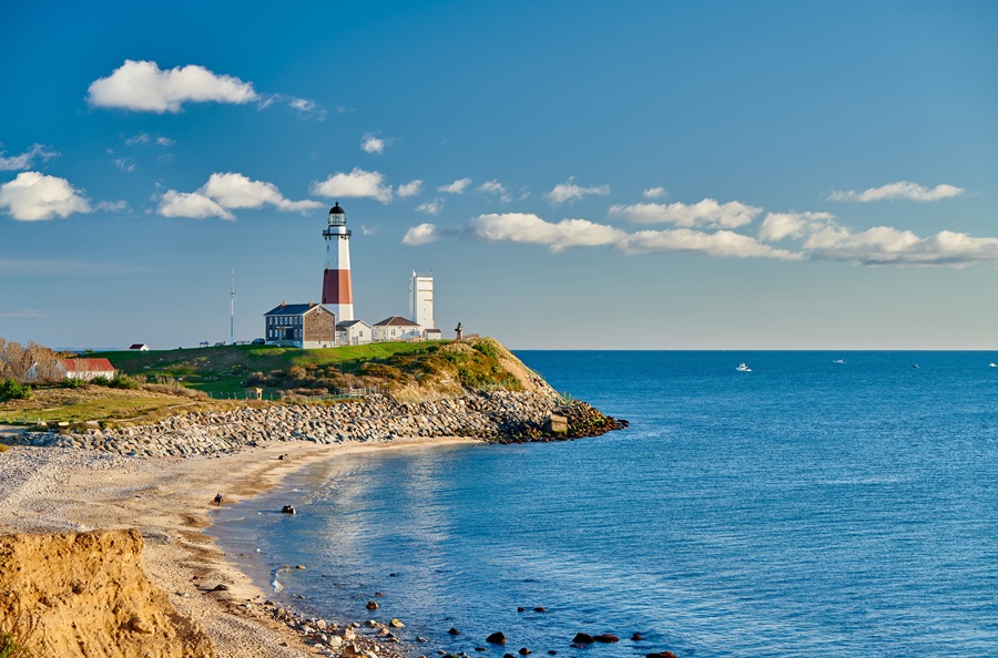
The glacier also shaped the island’s coastline. Meltwater carved streams, ponds, and wetlands, while rising sea levels eventually surrounded the landmass, separating it from mainland New York State. Today, Long Island Sound borders the island to the north, while the Atlantic Ocean stretches along its southern shoreline. Over thousands of years, waves and currents also created the barrier beaches and islands that protect much of the South Shore, including Fire Island National Seashore.
The island’s glacial origins continue to influence life on Long Island today. Its fertile soils support farms and vineyards across the North Fork, its gently rolling hills define much of the North Shore, and its sandy beaches and coastal dunes make the South Shore one of the most popular recreational areas in the northeastern United States.
Quick Facts
| Category | Information |
|---|---|
| Formation | Created by glaciers during the last Ice Age |
| Age | Approximately 20,000 years |
| Primary Force | Retreating glaciers and glacial deposits |
| Northern Boundary | Long Island Sound |
| Southern Boundary | Atlantic Ocean |
| Notable Landforms | Glacial moraines, beaches, dunes, ponds, wetlands, and barrier islands |
| Notable Regions Shaped by Glaciers | North Shore, South Shore, and the North Fork |
| State | New York State |
The glaciers that shaped Long Island left behind far more than a strip of land. They created the hills, beaches, harbors, wetlands, and fertile soils that continue to define the island’s landscape today. From the bluffs overlooking Long Island Sound to the sandy shoreline of the Atlantic Ocean, nearly every natural feature of Long Island can be traced back to the powerful glaciers that transformed this part of New York State thousands of years ago.
