
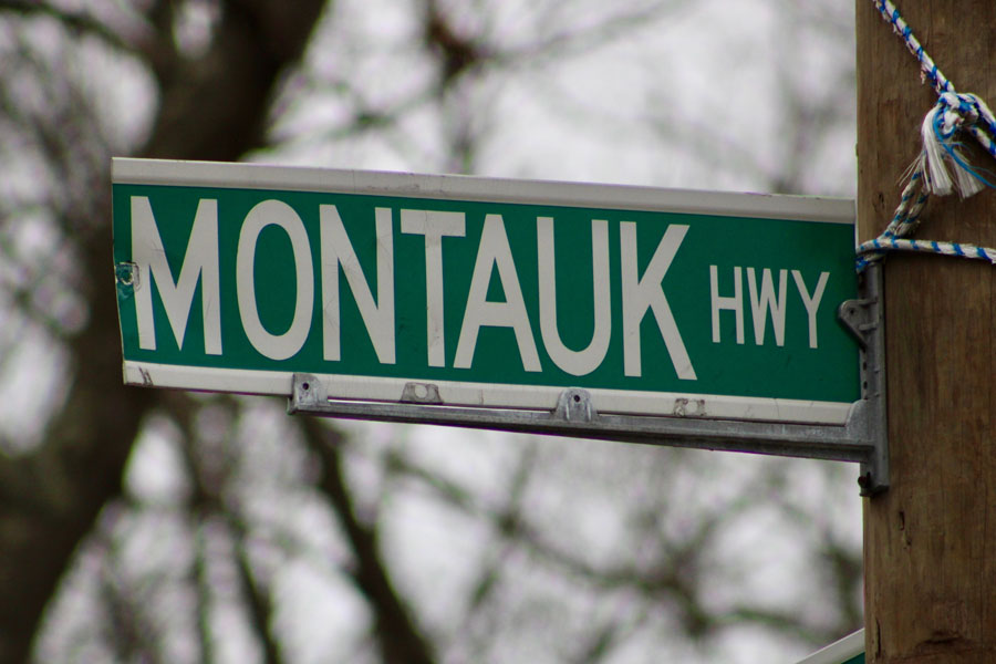
Montauk Highway (NY-27A / CR-80 / NY-27)
Montauk Highway is one of Long Island’s most historic and recognizable roadways, following the South Shore corridor east toward Montauk Point. On modern maps, the name applies to a mix of signed and locally maintained segments – including stretches associated with NY-27A, Suffolk County’s CR-80, and NY-27 farther east – rather than one uninterrupted designation for the entire trip.
In practice, travelers use Montauk Highway to reach downtown villages, marinas, beaches, and the Hamptons. Drivers approaching from Queens typically connect into the broader South Shore route through Nassau County before the Montauk Highway name becomes more prominent farther east. It is generally slower and more local than Sunrise Highway, but that is also part of its appeal: the road passes through traditional business districts, waterfront communities, and scenic East End stretches that the expressway largely bypasses.
Route and Features
- Western approach: South Shore Nassau County corridor; drivers from Queens commonly join via NY-27 and local South Shore roads before continuing east
- Eastern Terminus: Montauk Point Lighthouse and the Montauk Point State Park area, Montauk, NY
- Length: Roughly 80 to 100 miles, depending on which named and signed segments are counted
- Counties: Primarily Nassau and Suffolk, with common western approaches from Queens
- Character: Two- to four-lane surface road, often functioning as a village main street with traffic lights, storefronts, and local turnoffs
- Restrictions: Not a parkway; commercial vehicles are generally allowed, though local regulations may vary by section
Major Segments & Junctions (west → east)
| Segment / Designation | Places Served | Notes |
|---|---|---|
| Nassau / western South Shore approach NY-27A-related corridor | Freeport, Merrick, Wantagh, Amityville, Lindenhurst, Babylon | In western stretches, the South Shore route may also appear under local street names such as Merrick Road before Montauk Highway becomes the prevailing name farther east. |
| Montauk Highway / CR-80 Central and eastern South Shore Suffolk | West Islip, Bay Shore, Islip, Great River, Oakdale, Sayville area, Patchogue, Bellport, Shirley, Moriches | County-maintained across much of the corridor; provides strong local access to downtowns, marinas, parks, and beaches throughout the South Shore. |
| NY-27 signed as Montauk Highway | Eastport / Westhampton area, Quogue, Hampton Bays, Southampton, Water Mill, Bridgehampton, East Hampton | Through the Hamptons; generally slower than the Sunrise Highway and often heavily traveled in summer. |
| Amagansett → Montauk Point | Amagansett, Hither Hills State Park, Montauk, Montauk Point Lighthouse | Scenic eastern stretch with parkland, ocean access nearby, and the road’s best-known destination on the eastern end of Long Island. |
Vicinity of the Highway
Notable Facts
- Montauk Highway predates Sunrise Highway as the original South Shore through route in many communities across Long Island.
- In numerous villages and hamlets, it still functions as a main street connecting historic downtowns, railroad communities, waterfronts, and marina districts throughout Suffolk County and eastern Nassau County.
- Its route number and maintenance change by section, so maps may show NY-27A, CR-80, or NY-27 even when locals still refer to the road as Montauk Highway.
- Traffic bottlenecks are common on summer Fridays, Sundays, and holiday weekends, especially through the Hamptons and into Montauk.
- It provides access to attractions such as the Montauk Point Lighthouse, South Shore beaches, state parks, and village shopping districts across eastern Long Island.
Driving Montauk Highway Today
- Best for: Scenic local driving, downtown stops, beach access, and exploring the South Shore of Long Island at a slower pace.
- Expect delays: Travel times can increase noticeably in peak summer season and during holiday or beach weekends, especially throughout the Hamptons.
- Village conditions: Speed limits, parking rules, and turn restrictions vary by community along the Montauk Highway corridor.
- Planning tip: If you want the fastest east-west trip, Sunrise Highway is usually quicker; if you want local stops, waterfront scenery, and downtown access, Montauk Highway is often the better choice.
- Before you go: Beach access rules, park hours, ferry schedules, and seasonal services throughout eastern Suffolk County may change, so check ahead before visiting.
