
How much farmland is left on Long Island?
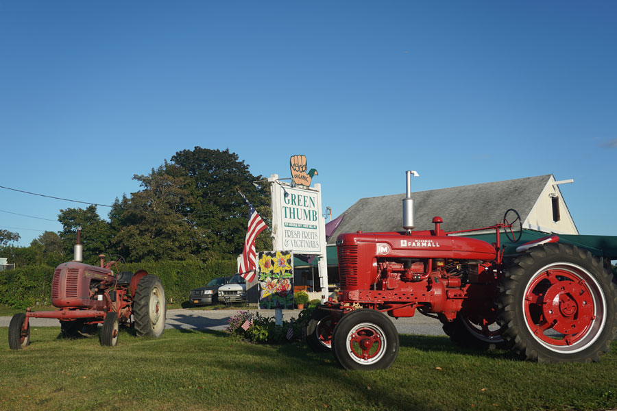
Approximately 34,500 acres of land remained in farms across Nassau and Suffolk counties in 2022, according to the latest complete federal Census of Agriculture. That is dramatically less than the 123,346 farm acres recorded in Suffolk County alone in 1950. However, the long-term figures reveal an important distinction: Long Island lost most of its farmland during the decades of rapid suburban development after World War II, while the total amount of land reported in farms has changed much less since the early 2000s.
In Short
Suffolk County contained approximately 123,346 acres of land in farms in 1950. By 2002, that figure had fallen to approximately 34,127 acres. In 2022, the latest federal agricultural census counted 33,821 farm acres in Suffolk County and 665 acres in Nassau County, for a combined Long Island total of approximately 34,486 acres.
How Much Farmland Is Left on Long Island?
The latest comprehensive figure comes from the 2022 Census of Agriculture conducted by the United States Department of Agriculture. It reported 33,821 acres of land in farms in Suffolk County and 665 acres in Nassau County. Together, the two counties contained approximately 34,486 acres of land in farms.
Nearly all of Long Island’s remaining agricultural land is therefore in Suffolk County, particularly within the North Fork, the South Fork, the Town of Riverhead, and other portions of the East End. Nassau County, once substantially more rural, now contains only a small agricultural land base.
How Much Farmland Was There in 1950?
In 1950, Suffolk County contained 123,346 acres of land in farms spread among 2,187 farms. Farming remained a defining land use across much of the county, including areas that would later undergo extensive residential, commercial, and transportation development.
The federal statistics show that Suffolk’s farm acreage declined rapidly over the following decades. The county reported 89,776 acres in 1959, 61,520 acres in 1969, 51,853 acres in 1978, 43,300 acres in 1987, and 38,900 acres in 1992.
By 2002, Suffolk County had approximately 34,127 acres in farms. Compared with the 1950 figure, the county had lost approximately 89,000 farm acres, or about 72% of its agricultural land base.
How Much Farmland Was Left in the Early 2000s?
The 2002 Census of Agriculture recorded approximately 34,127 acres of land in farms in Suffolk County and 1,118 acres in Nassau County. The combined Long Island total was therefore approximately 35,245 acres.
That figure is surprisingly close to the 34,486 acres reported in 2022. Based on those federal census totals, Long Island’s reported land in farms declined by only about 759 acres between 2002 and 2022, or roughly 2%.
This does not mean that no farmland was developed during those two decades. Individual farms were lost, parcels changed uses, and agricultural activity shifted. Other properties entered agricultural production or were newly counted, while census definitions, reporting participation, and farm boundaries can also affect the totals. Nevertheless, the data indicate that the dramatic decline seen between 1950 and 2000 slowed considerably during the early 21st century.
Is Long Island’s Farmland Still Disappearing?
The long-term answer is clearly yes: Long Island has far less farmland than it did in the middle of the 20th century. The more recent answer is more complicated. Federal agricultural census figures suggest that the overall acreage classified as land in farms has remained comparatively stable since the early 2000s, especially in Suffolk County.
Several factors have helped slow the decline. Suffolk County, local towns, New York State, and nonprofit organizations have purchased development rights or conservation easements that prevent protected properties from being converted to conventional residential or commercial development. More than 20,000 acres have been preserved countywide through county, town, state, and nonprofit farmland-preservation efforts.
Preservation does not necessarily mean that every acre is actively planted every year. It generally means that the land’s development rights have been restricted so it remains available for agriculture rather than being subdivided for nonagricultural construction.
Where Is Most of the Remaining Farmland?
The largest concentrations of farmland are found in eastern Suffolk County. The North Fork contains vineyards, vegetable farms, nurseries, orchards, farm stands, and fields extending through communities such as Mattituck, Cutchogue, Southold, and Orient.
The Town of Riverhead also contains substantial agricultural areas and serves as a gateway to both forks. Farms remain on the South Fork in portions of Southampton and East Hampton, although development pressure and land values are especially intense in the Hamptons.
Agriculture also continues in smaller pockets elsewhere in Suffolk County. Nassau County’s remaining farms are far fewer and generally smaller, with agriculture representing only a tiny share of the county’s developed landscape.
What Counts as “Land in Farms”?
The Census of Agriculture uses the term land in farms, which is broader than land currently covered by growing crops. It can include harvested cropland, pasture, woodland associated with a farm, farm buildings, farm roads, ponds, conservation acreage, and other land operated as part of a qualifying farm.
A property may qualify as a farm for census purposes if it produced and sold, or normally would have produced and sold, at least the minimum value of agricultural products established by the federal definition. For that reason, “land in farms” should not be interpreted as the exact number of acres planted with vegetables, potatoes, grapes, or other crops in a particular year.
Why Does Preserving Farmland Matter?
Farmland supports much more than food production. Long Island farms contribute to the regional economy through vegetables, fruit, vineyards, nurseries, greenhouses, sod, livestock, aquaculture, farm stands, agritourism, and seasonal employment.
Agricultural land also helps maintain the open landscapes associated with the North Fork and East End. Farms provide habitat, preserve rural views, support local food systems, and help distinguish eastern Long Island from the more intensively developed portions of Nassau and western Suffolk counties.
Farmland on Long Island Over Time
| Year and Area | Reported Land in Farms | What the Figure Shows |
|---|---|---|
| Suffolk County, 1950 | 123,346 acres | Farming still occupied a substantial portion of Suffolk County before the largest period of postwar suburban expansion. |
| Suffolk County, 1959 | 89,776 acres | More than 33,000 farm acres had disappeared from the county total in less than a decade. |
| Suffolk County, 1969 | 61,520 acres | The rapid conversion of agricultural land continued as Suffolk’s population and suburban development expanded. |
| Suffolk County, 1992 | 38,900 acres | The county had retained less than one-third of the farm acreage reported in 1950. |
| Long Island, 2002 | Approximately 35,245 acres | Combined total of approximately 34,127 acres in Suffolk County and 1,118 acres in Nassau County. |
| Long Island, 2022 | Approximately 34,486 acres | Combined total of 33,821 acres in Suffolk County and 665 acres in Nassau County. |
| Long-Term Pattern | Major decline followed by relative stability | Most of the documented loss occurred between 1950 and the early 2000s; the combined census total changed much less between 2002 and 2022. |
| Preserved Farmland | More than 20,000 acres in Suffolk County | Protected through county, town, state, and nonprofit preservation efforts using development-rights purchases and related programs. |
Methodology
The historical figures on this page come primarily from the United States Census of Agriculture and New York agricultural statistical reports. Suffolk County is used for the long-term comparison beginning in 1950 because it contains nearly all of Long Island’s remaining farmland and provides the clearest consistent historical series.
The 2002 and 2022 Long Island totals were calculated by combining the reported land in farms for Nassau and Suffolk counties. The 2002 total combines approximately 34,127 acres in Suffolk County with 1,118 acres in Nassau County. The 2022 total combines 33,821 acres in Suffolk County with 665 acres in Nassau County.
These figures measure land reported as part of qualifying farm operations rather than only land actively planted in crops. Census methods, farm definitions, reporting participation, parcel boundaries, and land-use categories can change or affect comparisons. The numbers should therefore be understood as the best available federal estimates of land in farms, not a parcel-by-parcel inventory of every agricultural acre.
Long Island has unquestionably lost most of the farmland that existed in the middle of the 20th century. Suffolk County’s agricultural land base fell by approximately 72% between 1950 and 2002 as suburban development spread eastward. The more encouraging part of the story is that the reported total has remained relatively close to 35,000 acres since the early 2000s, suggesting that farmland-preservation programs and the continuing economic strength of East End agriculture have helped slow, though not eliminate, further loss.
Are you ready for fall on Long Island? Check out these local seasonal guides:
🍎 Apple Picking 🍓 Strawberry Picking 🎃 Pumpkin Picking 👻 Haunted Houses 🍂 Farm Festivals
