
How to Get to Long Island

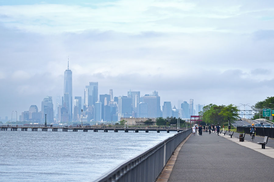
Long Island is connected to New York City and beyond through an extensive network of highways, trains, ferries, and airports. Whether you’re visiting for a beach day, planning a business trip, or relocating, there are multiple ways to get here. This guide covers every option for reaching Long Island and navigating its entry points.
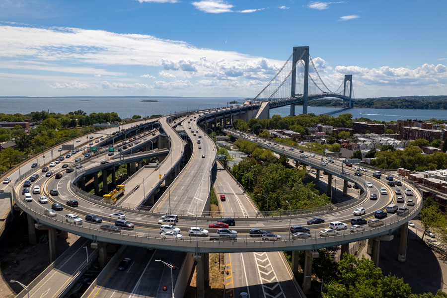
Getting Here by Car
Most visitors arrive by car, crossing from New York City or Westchester into Nassau County.
- From Manhattan:
- From the Bronx/Westchester:
- From Brooklyn/Queens:
- From Staten Island/New Jersey:
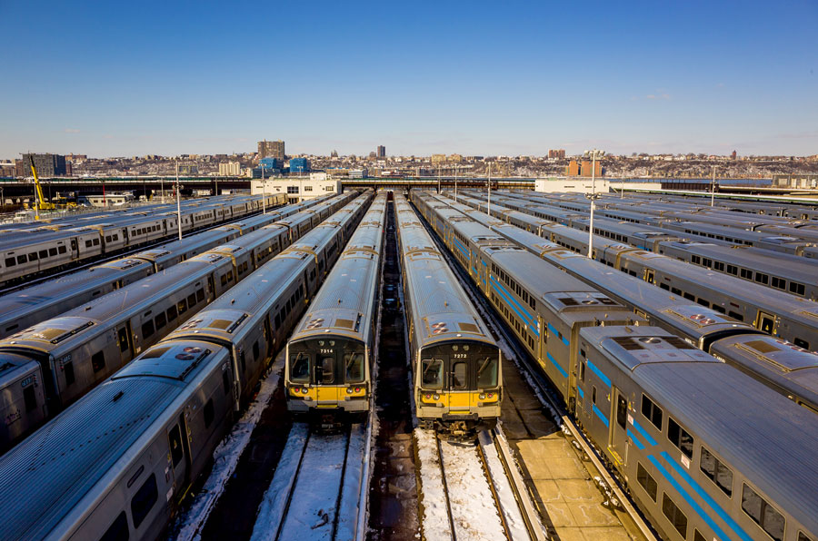
Getting Here by Train (Long Island Rail Road)
The Long Island Rail Road (LIRR) offers direct access from New York City into Nassau and Suffolk counties.
- Departure Points:
- Coverage:
- Branches serve destinations from Hempstead and Huntington to Montauk and Greenport.
- Connections to AirTrain JFK make it convenient for air travelers.
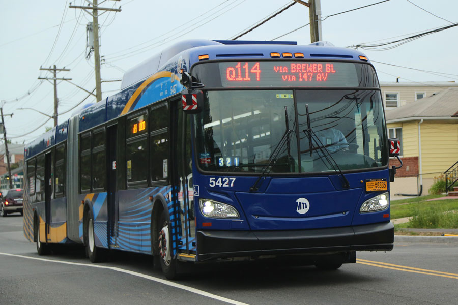
Getting Here by Bus
- MTA Buses: Connect Queens to Nassau County with local service.
- Intercity Buses: Companies like Greyhound, Hampton Jitney, and Trailways offer service to major Long Island towns and the Hamptons.
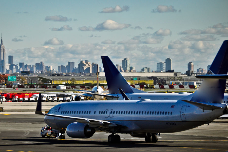
Getting Here by Air
Flying is another convenient option:
- Long Island MacArthur Airport (ISP, Islip): Commercial flights to and from major U.S. cities.
- JFK International Airport (Queens): One of the busiest international gateways, just minutes from the Nassau border.
- LaGuardia Airport (Queens): Domestic flights, convenient for western Long Island.
- Republic Airport (Farmingdale): Charter and private flights.
- East Hampton Airport: Seasonal and private flights to the East End.
Getting Here by Ferry
Several ferry routes connect Long Island with Connecticut, Fire Island, and surrounding communities.
- Port Jefferson – Bridgeport Ferry (Connecticut)
- Orient Point – New London Ferry (Connecticut)
- Shelter Island Ferries (North Ferry and South Ferry)
- Fire Island Ferries from Bay Shore, Sayville, and Patchogue

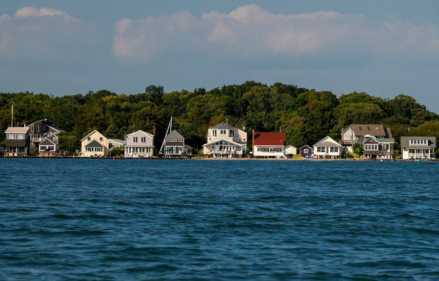
Getting Here by Boat/Yacht
Long Island’s shoreline is dotted with marinas, making it an accessible destination for boaters.
- Popular harbors: Port Washington, Freeport, Greenport, Montauk, Sag Harbor.
- Public and private docking available along both North and South shores.
Alternative Access
- By Bike/On Foot: While not common, cyclists and pedestrians can enter from NYC via bridges like the Queensboro and Triborough into Queens, then continue eastward.
Travel Snapshot Table
| Method | Main Routes | Notes |
|---|---|---|
| Car | I-495 (LIE), Southern State Pkwy, Northern State Pkwy | Best for flexibility |
| Train | Long Island Rail Road (11 branches) | Direct to major towns & beaches |
| Bus | MTA, Greyhound, Hampton Jitney | Affordable, slower than train |
| Air | ISP, JFK, LGA, Republic, East Hampton | Options for commercial & private |
| Ferry | Port Jefferson, Orient Point, Shelter Island, Fire Island | Scenic & seasonal |
| Boat/Yacht | Numerous marinas | Popular for leisure travel |
| Bike/On Foot | Limited bridges from NYC | For adventurers only |
No matter how you prefer to travel, Long Island is well-connected to New York City and the Northeast. From ferries across the Sound to direct trains from Manhattan, reaching Long Island is as easy as it is rewarding.
Frequently Asked Questions About Getting to Long Island
What is the fastest way to get to Long Island from Manhattan?
The fastest option is usually by car via the Queens–Midtown Tunnel onto the Long Island Expressway (I-495). During peak traffic hours, the Long Island Rail Road (LIRR) is often faster since trains bypass road congestion.
Does the Long Island Rail Road go all the way to Montauk?
Yes. The Montauk Branch of the LIRR provides direct service from Manhattan to Montauk, with stops at popular Hamptons towns like Westhampton, Southampton, and East Hampton.
Can you get to Long Island without a car?
Absolutely. Many visitors rely on the LIRR, buses, or ferries. Local bus systems (NICE in Nassau, Suffolk County Transit in Suffolk) provide additional connections once you’re here.
What airports serve Long Island?
- MacArthur Airport (ISP) in Islip offers direct commercial flights.
- JFK and LaGuardia (both in Queens) are just minutes from Nassau County.
- Republic Airport and East Hampton Airport serve private and charter flights.
Are there ferries from Connecticut to Long Island?
Yes. Two major routes connect Long Island to Connecticut:
Is there a ferry from Manhattan to Long Island?
Currently, there is no direct year-round ferry from Manhattan to Long Island’s South or North Shores. However, seasonal ferries run to Fire Island from Long Island’s south shore, and water taxis may operate limited service.
How long does it take to drive from Manhattan to the Hamptons?
Depending on traffic, the drive takes about 2 to 3 hours. On summer weekends, travel times may be longer, and many visitors opt for the LIRR or Hampton Jitney bus service instead.
Can you bike to Long Island?
Yes, though it’s not common. Cyclists can cross into Queens via bridges like the Queensboro Bridge or Triborough (RFK) Bridge, then continue eastward onto Long Island roads and trails.
