
Sunken Meadow State Parkway (SMP)
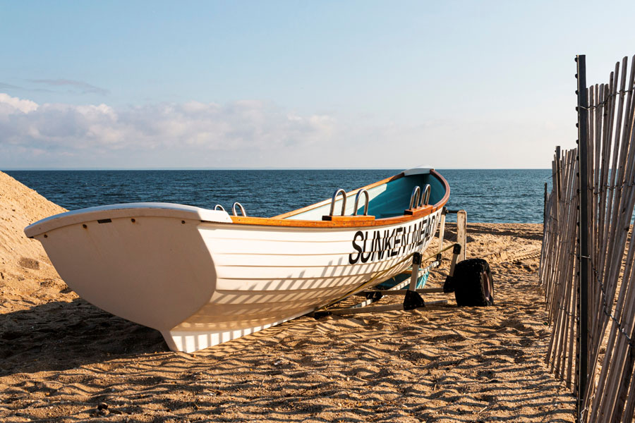
The Sunken Meadow State Parkway (SMP) is a short north–south parkway in Suffolk County that runs from the Northern State Parkway / Sagtikos State Parkway interchange in Commack north to Sunken Meadow State Park on Long Island’s North Shore. Opened in the late 1950s as part of the region’s parkway network, it remains one of the main driving routes from central Long Island to the park’s shoreline, picnic areas, golf facilities, and other outdoor recreation along the Long Island Sound.
The parkway is a passenger-car-only road, so trucks and most commercial vehicles are prohibited. Drivers often remember it for its wooded final approach as it heads toward the park entrance and waterfront.
For visitors, the route is primarily used to reach beach access, boardwalk areas, fishing spots, trails, and seasonal park facilities at Sunken Meadow State Park. Parking fees, swimming availability, golf operations, and park hours can vary by season, so it is best to check the official Sunken Meadow State Park page before visiting.
Route and Features
- Southern Terminus: Northern State Parkway / Sagtikos State Parkway interchange, Commack
- Northern Terminus: Sunken Meadow State Park, Kings Park
- Length: approximately 6.3 miles
- County: Suffolk
- Restrictions: Passenger vehicles only; trucks and most commercial vehicles are prohibited
Commonly Listed Exits (south → north)
| Exit | Destination / Roadway | Notes |
|---|---|---|
| SM1 | Northern State Parkway / Sagtikos State Parkway | Southern end of the Sunken Meadow Parkway segment in Commack |
| SM2 | Jericho Turnpike (NY-25) | Access for Commack / Smithtown |
| SM3 | Pulaski Road (CR-11) | Access for Kings Park |
| SM4 | East Northport Road (CR-66) | Access for East Northport / Kings Park |
| SM5 | Sunken Meadow State Park | Northern terminus at the park and Long Island Sound shoreline |
Exit numbering and how ramps are labeled can appear a little differently across signs, maps, and GPS apps, especially around the southern interchange. Follow current roadway signage when driving.
Vicinity of the North–South Parkway
Notable Facts
- The SMP opened in the late 1950s to provide direct access to Sunken Meadow State Park, one of the major North Shore recreation areas developed during the Robert Moses era.
- Together with the Sagtikos State Parkway, it helps form a north–south driving corridor linking the Southern State Parkway, the Northern State Parkway, and the North Shore parklands at Sunken Meadow.
- It provides direct access to the park’s beach, picnic areas, golf course, trails, and waterfront recreation along the Long Island Sound.
- Traffic is usually lighter than on some of Long Island’s larger south shore parkways, but delays can build during summer weekends, holidays, and peak beach hours.
Because the parkway ends at a state park, the final stretch can slow down when beach lots are busy or when park operations change for weather, maintenance, or special events. Checking ahead is especially worthwhile during peak season.
