
Sagtikos State Parkway
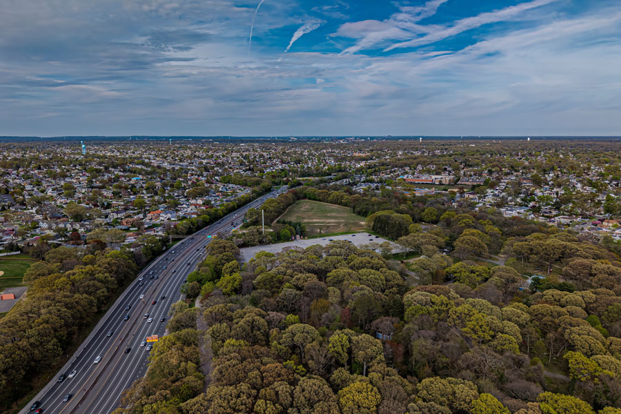
The Sagtikos State Parkway is a north–south connector in western Suffolk County linking the Southern State Parkway to the Northern State Parkway and continuing as the Sunken Meadow State Parkway to Long Island Sound. Opened in the 1950s as part of Robert Moses’ parkway network, it carries passenger cars only (no trucks/commercial vehicles) and serves as a key spine between the South Shore and North Shore park/beach corridors.
Route and Features
- Southern Terminus: Southern State Parkway (West Islip) – south of here the roadway continues as the Robert Moses Causeway toward the barrier beaches.
- Northern Terminus: Transition to Sunken Meadow State Parkway at the Northern State Parkway interchange (Commack).
- County: Suffolk
- Character: Limited-access, landscaped median, stone/arched overpasses typical of LI parkways
- Restrictions: Passenger cars only; commercial vehicles prohibited.
Major Interchanges & Access Points (south → north)
| Exit / Junction | Destination / Roadway | Notes |
|---|---|---|
| Southern Terminus | Southern State Parkway / Robert Moses Causeway | Parkway chain link; south continues to barrier beaches |
| NY-27A | Montauk Highway (West Islip / Bay Shore) | Local South Shore access |
| NY-27 | Sunrise Highway | Full east–west connection |
| — | Pine Aire Dr / Bay Shore Rd (local ramps) | Access to Brentwood / Bay Shore (partial movements) |
| CR-13 | Crooked Hill Rd | Suffolk Community College (Brentwood campus) |
| Exit S1 (LIE) | I-495 (Long Island Expressway, Exit 53) | Major east–west link |
| CR-67 | Motor Parkway | Hauppauge / Brentwood business corridor |
| — | Vanderbilt Pkwy / Townline Rd | Dix Hills / Commack area |
| NY-25 | Jericho Turnpike | Commack / Smithtown |
| Northern Terminus | Northern State Parkway → Sunken Meadow State Parkway | Continues north to Sunken Meadow State Park |
Notable Facts
- Forms the middle segment of a continuous parkway chain: Robert Moses Causeway ↔ Southern State ↔ Sagtikos ↔ Northern State ↔ Sunken Meadow.
- Provides efficient transfers between I-495 and the North/South Shore beach corridors.
- Historic design elements and tighter curves mean modern speeds and heavy traffic require extra caution, especially near weave zones by Sunrise Highway and the LIE.
