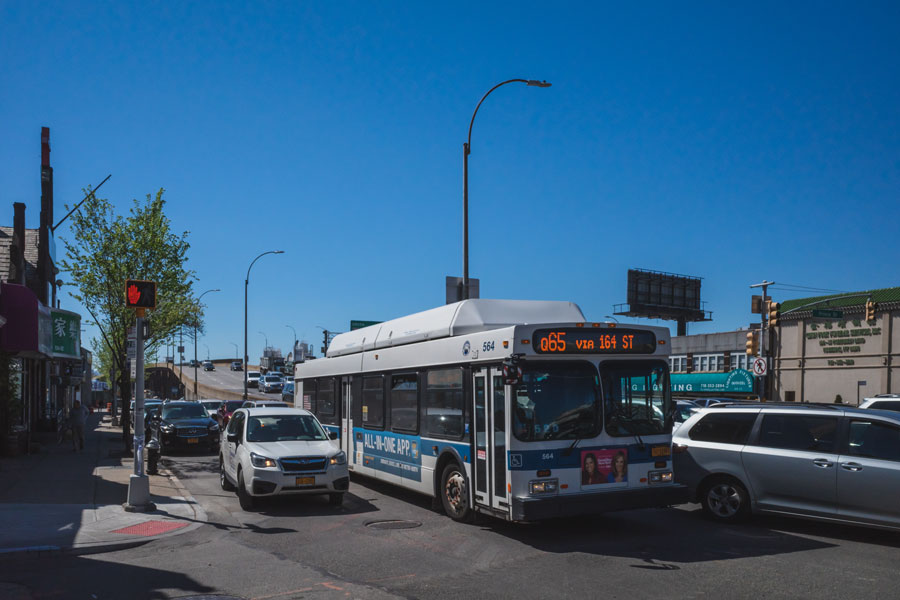
Route 25A (NY-25A)

New York State Route 25A (NY-25A) is the scenic North Shore companion to NY-25, running from Queens through Nassau and Suffolk along older village main streets and waterfront corridors before meeting NY-25 again near Wading River/Riverhead. Much of the route hugs harbors and coves – Roslyn, Oyster Bay, Cold Spring Harbor, Huntington, Northport, Stony Brook, Setauket, Port Jefferson – and features lower speeds, historic districts, and frequent signals. Unlike the parkways, commercial vehicles are permitted.
Route & Features
- Western Terminus: Queens (Astoria Blvd/Northern Blvd area; joins/overlaps with NY-25 segments)
- Eastern Terminus: Near Wading River / Riverhead, where it merges back toward NY-25
- Length: ~73 miles (Queens → eastern Suffolk)
- Counties: Queens, Nassau, Suffolk
- Character: Urban arterial → 2–4-lane suburban/village main streets → rural/coastal segments
- Restrictions: Standard state route (not a parkway); trucks allowed where not locally restricted
Major Segments & Junctions (west → east)
| Segment / Junction | Places Served | Notes |
|---|---|---|
| Northern Blvd (Queens) | Long Island City → Bayside | Connects with GCP/CIP network via local arterials |
| North Shore Blvd / Northern Blvd (Nassau) | Great Neck, Manhasset, Roslyn | Historic village cores |
| Oyster Bay Rd corridor | Glen Cove, Oyster Bay | Access to shoreline parks & LIRR branches |
| Cold Spring Harbor ↔ Huntington Village | Cold Spring Harbor, Halesite, Huntington | Tight lanes, downtown traffic |
| Centerport ↔ Northport ↔ Fort Salonga Rd | Northport, Fort Salonga | Rolling, curvy coastal hills |
| Smithtown / St. James | Links to NY-25 and NY-347 | Choices for Port Jefferson vs. Middle Country Rd |
| Setauket ↔ Stony Brook (University) | Historic Setauket, Stony Brook Village | Museums, university access |
| Port Jefferson corridor | Belle Terre / Port Jefferson | Ferry to Bridgeport, CT via local roads |
| Mount Sinai ↔ Rocky Point ↔ Shoreham | North Shore suburbs | Mix of 2–4 lanes, signals |
| Wading River / Riverhead | Transition back toward NY-25 | East-end connection to North Fork via NY-25 |
Notable Facts
- NY-25A traces parts of the original North Shore stagecoach routes and early 20th-century state highways.
- It functions as the scenic alternative to NY-25, threading through walkable village centers with waterfront parks, harbors, and marinas.
- Expect lower speeds and congestion in village main streets, especially weekends and summer.
- Provides access to Stony Brook University, numerous historic sites (Vanderbilt Museum, Setauket Green, etc.), and ferry links via Port Jefferson.

