

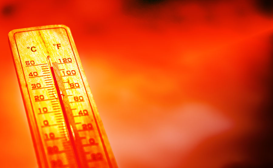
BABYLON, NY – A blistering and potentially record-setting heat wave has settled over Long Island, bringing extreme temperatures, health warnings, and infrastructure strain to the region. The National Weather Service has issued heat advisories and excessive heat warnings across Nassau and Suffolk counties as heat index values are forecast to climb as high as 108 °F through midweek.
The heat wave is part of a much larger system stretching across more than 26 states, from the Midwest to the Northeast. In some parts of the country, including New York City and Long Island, actual temperatures are expected to approach or exceed 100 °F – with Islip potentially hitting the century mark for only the eighth time since records began.
Health officials warn that the combination of high heat and humidity is particularly dangerous due to the lack of overnight relief. Lows are expected to stay in the mid- to upper-70s, which reduces the body’s ability to recover from daytime heat stress. Vulnerable groups, including older adults, children, outdoor workers, and people without access to air conditioning, are at the highest risk for heat-related illness.
Local governments across Nassau and Suffolk counties have activated emergency heat protocols. Cooling centers are open in locations such as Cantiague Park and Mitchell Field, with extended hours for community pools and splash parks throughout the towns of Hempstead, Huntington, Oyster Bay, North Hempstead, and Babylon. Residents are being urged to stay hydrated, limit outdoor activity, and check on neighbors, especially those living alone or without air conditioning.
The extreme heat is also taking a toll on infrastructure. Elevated rail temperatures have triggered transit delays and slower train speeds across the region. In New York City, subway platforms have exceeded 90 °F, and roadways elsewhere in the Northeast are reportedly showing signs of heat-related damage, including buckling and cracking. Power providers like Con Edison are monitoring grid stress closely and advising customers to conserve energy during peak hours.
Forecasts show the heat will continue through Wednesday, with the hottest conditions expected Monday and Tuesday. By Thursday, a shift in weather patterns is expected to bring relief, with temperatures dropping into the mid-70s to low-80s, along with a chance of showers or storms.
This intense start to summer comes amid broader concerns about climate-related weather extremes. Meteorologists note that prolonged heat events like this are becoming more frequent, arriving earlier in the season, and persisting longer than in past decades.
Top Questions About the Long Island Heat Wave
1. How hot will it get on Long Island this week?
Temperatures are expected to reach the upper 90s, with heat index values – or “feels like” temperatures — rising to between 104 °F and 108 °F. Some inland areas may hit 100 °F, which is extremely rare for the region.
2. Is there a heat warning in effect?
Yes. The National Weather Service has issued an excessive heat warning for Nassau County and western Suffolk. Eastern Suffolk is under a heat advisory.
3. When will the heat wave end?
Relief is expected by Thursday, when temperatures are forecast to drop into the 70s and 80s, with a chance of showers and storms bringing further cooling.
4. Are cooling centers open on Long Island?
Yes. Cooling centers and public pools have extended hours. Locations include Cantiague Park, Mitchell Field, and various town-operated facilities in Hempstead, Oyster Bay, Huntington, and others.
5. Who is most at risk during this heat wave?
Older adults, infants, people with chronic medical conditions, outdoor workers, and anyone without access to air conditioning are especially vulnerable to heat-related illnesses.
6. How is infrastructure being affected?
Transit systems are slowing trains due to track heat. High platform temperatures, power grid strain, and potential roadway damage are also being reported.
7. What should residents do to stay safe?
Limit time outdoors, stay hydrated, avoid strenuous activity during the afternoon, and check on elderly neighbors or those without air conditioning.
8. Is this part of a larger weather event?
Yes. This heat wave is impacting over half of the United States, including much of the Northeast, Midwest, and Mid-Atlantic, marking one of the earliest and most intense heat events in recent summers.
